The problem
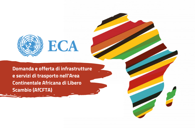
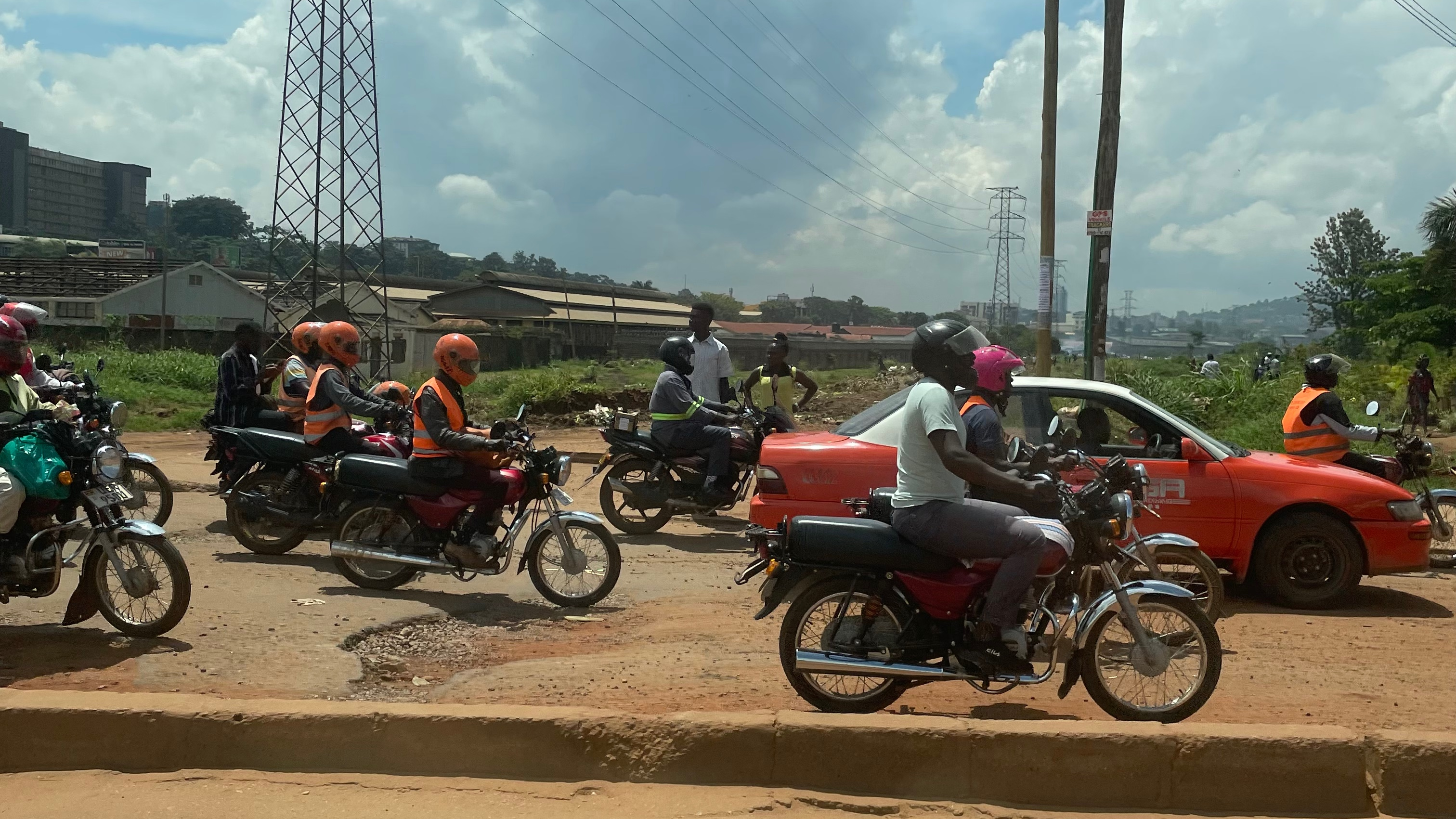
There are several million kilometres of roads throughout the globe, making roads the most significant international asset. At least 80% of persons and goods in Africa are transported by road. Roads are significant, highly valuable, and unmaintained public assets. However, the high value of the road network can be rapidly compromised, as well as the safety of road users and their activities. Inadequate corridor road maintenance could result in, among other things, delivery delays, road accidents, and an increase in the cost of final products. Digitalization can aid in improving maintenance management and achieving high levels of efficiency.
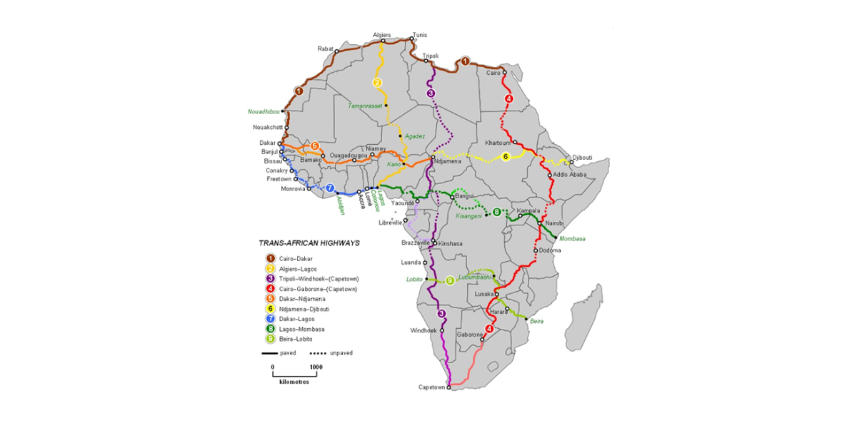
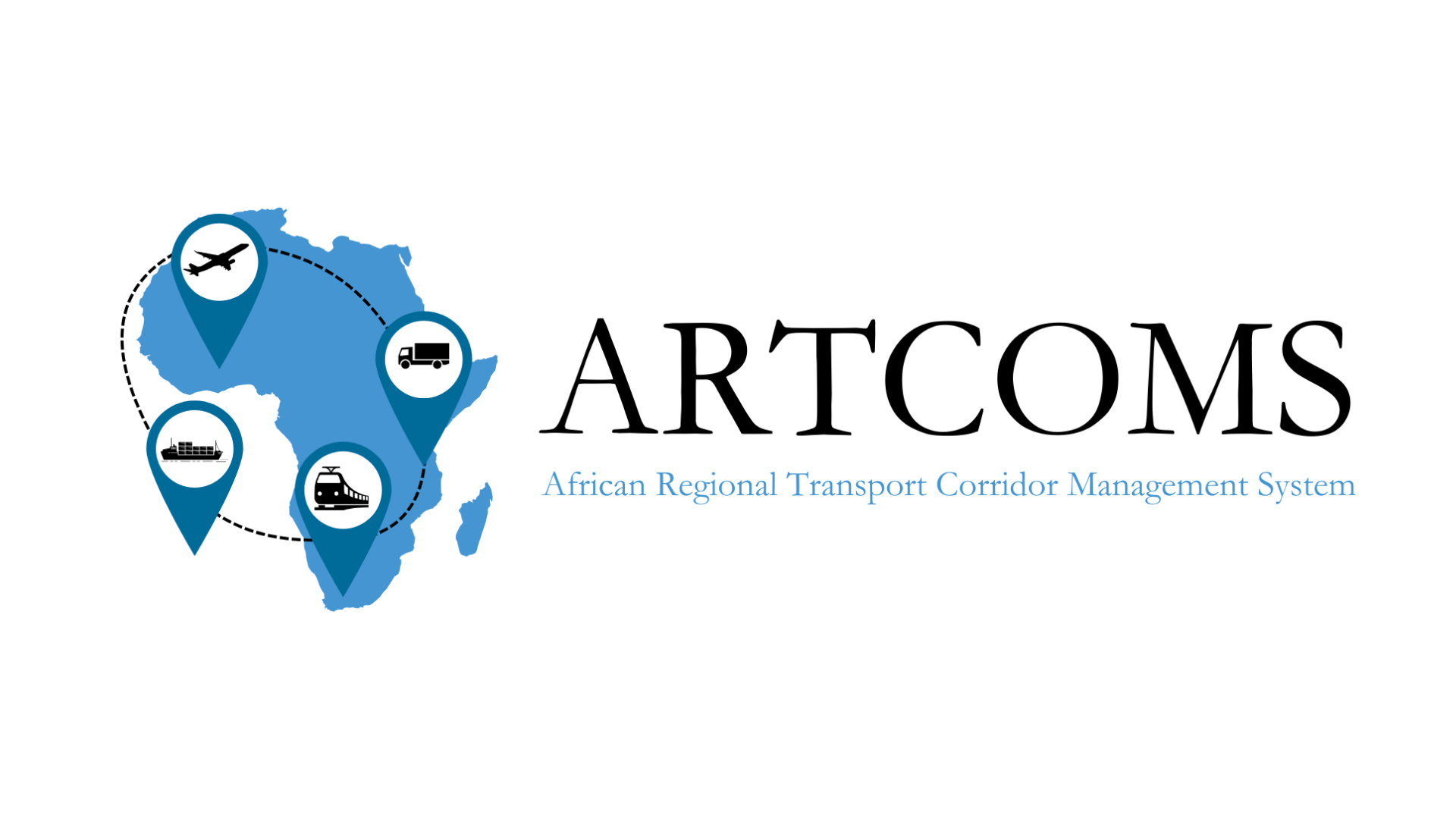
Research and innovation remain the centrepiece of transport optimization through digitalization. Regarding digitalisation, ECA seeks to work with member States and corridor management organisations to harness innovative technology to improve the efficiency of regional transport corridors. It also seeks to use satellite imagery and artificial intelligence to assess the condition of transport corridors in the context of the Programme for Infrastructure Development in Africa (PIDA) and the implementation of the African Continental Free Trade Area (AfCFTA). To this end, ECA, through the Private Sector Development and Finance Division and the African Centre for Statistics, has worked with the Centre for Transport and Logistics of the Sapienza University of Rome to develop a pilot project on the LAPSSET Corridor (Lamu Port – South Sudan – Ethiopia Transport Corridor) and extended it to the Central Corridor and the Northern Corridor.
Our approach
The overall objective of this project is the development of a digital application that uses a combination of satellite imagery and artificial intelligence to assess the condition of regional transport corridors: the African Regional Transport Corridor Management System (ARTCOMS). The assignment will also build the capacity of ECA to assess regional transport corridors (Northern Corridor; Central Corridor and LAPSSET Corridor) using satellite images and artificial intelligence.
The AI goals are to identify:
- critical points on roads,
- the number of lanes and the width of the roads,
- the presence or absence of asphalt and any significant damage,
- the presence or absence of safety features such as guardrails or road signs.
After the correct definition of the corridors routes, a web application that allows sharing the geospatial data for interactive mapping queries has being developed. Private access to the web-application for different stakeholders with specific roles in accessing data: viewing; editing (Add, Modify, etc.); querying with possibility to use data filtering commands.