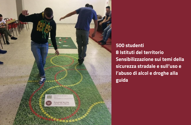
The problem
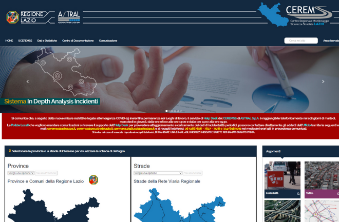
The project develops models and instruments aimed at optimising mobility on the regional network and continues the activities and development of the Monitoring Centre (CEREMSS) of the Lazio Region.
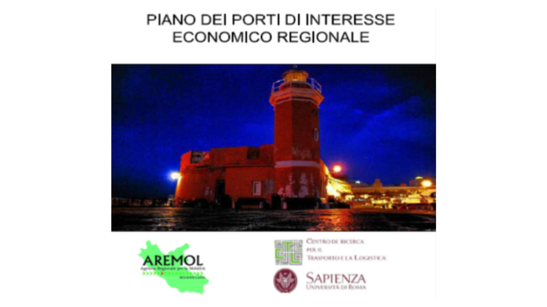
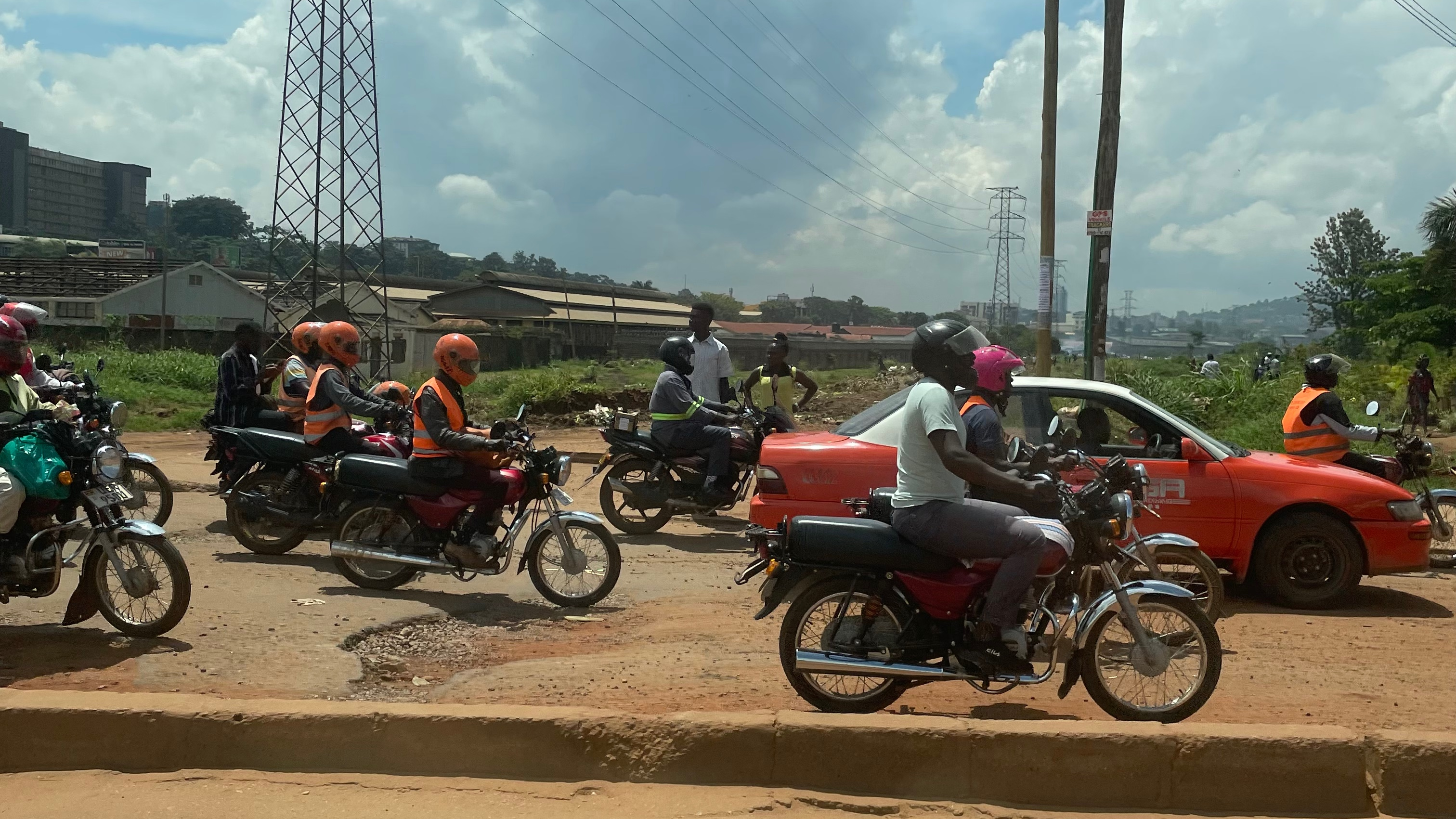
Granted in concession to ASTRAL, the regional road network underwent considerable transformations in 2019. Some road infrastructures went to other authorities while others, transferred by four of the five Lazio Provinces (Rieti and Viterbo to the north, Frosinone and Latina to the south), became part of the regional patrimony. The new RVR structure presents an overall development of about 1,400 km of roads that cross the territory of the municipalities of all five of the Lazio provinces. The running of a road network, above all one having a remarkable development like the RVR managed by ASTRAL, requires an updated analysis and detailed knowledge of the mobility dynamics developing on it, as well as the specific conditions of the infrastructures from which to obtain essential information to support the scheduling, management and planning of interventions with regard to road systems and authorisations and concessions.
Our approach
In order to have a Flow and Mobility Management and Optimisation Plan of such a vast regional road network it is necessary to create a complete information framework. The work began with survey campaigns and the development of IT tools for the collection and analysis of:
- data relative to specific technical/functional features of the single roads;
- traffic volumes and characteristics;
- territorial factors;
- information on the origin/destination of movements;
- road accident numbers.
All this information merges into a single regional graph that was realised during the project. The aim is to know complex and multiple features for each single stretch of road, able to give a detailed picture of the situation offering the real possibility of intervening to improve the present state of things. The analytical framework is completed by the development of a Simulation Model of the functioning of the roads of the regional road network, by means of the use of innovative artificial intelligence and machine learning procedures.